| Home | Pictures | Paintings | Photography | Biography | Contact |
Coyote Peak Trail
San Jose, California
January 10, 2004
| Coyote Peak is located in Santa Teresa Park on the outskirts of San Jose and is part of the Santa Clara County Parks Department. The trail to the peak is 1.8 miles long and is considered fairly easy. |
 The path to the trail head I chose took me through the Santa Teresa Golf Club. |
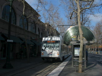
11:30 a.m. A ride on the VTA Light Rail from downtown San Jose to the Santa Teresa Station. 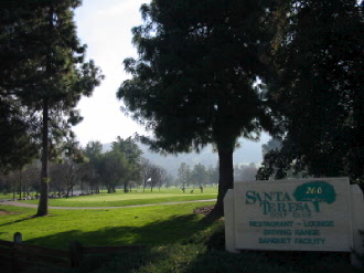 |
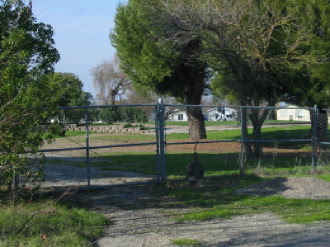 The trail head actually begins here on the other side of the fence a short walk from Avenida Espana. |
...Unfortunately this route leads to a fence with a locked gate. 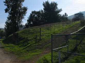 |
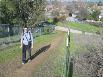
A lot of the sections on the way are uphill. 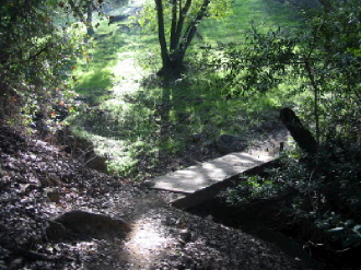
About a mile into the trail, the path forks in two directions. The path to the left is shorter but a steeper climb. 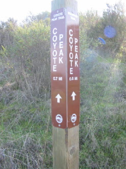
Further along, some views of the valley below. 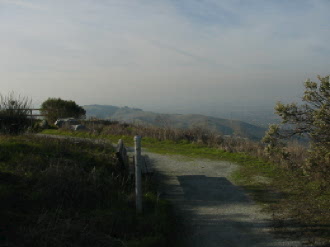
Top |
The trail begins uphill toward a small bridge crossing the Coyote Alamitos Canal. The vertical rise from here to the peak is about 1155 feet. 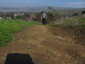
A small foot bridge crosses the canal. 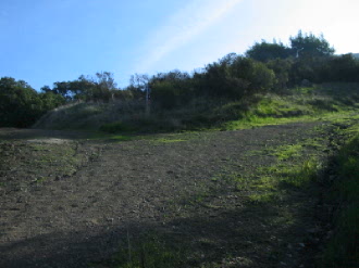
A signpost at the fork marks the distance remaining to the peak. 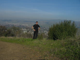
Some two hours after starting, I reach the picnic benches at the crest and enjoy some nice views of the valley from up above. 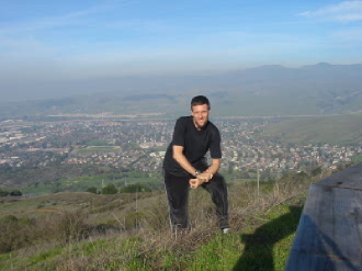 2:30 p.m. The community of Santa Teresa in the background. |
Copyright © 2003 - 2009 Todd A Garrison
All rights
reserved.
